
High Trestle and Racoon River Trail – Des Moines, IA
So we had originally planned to do this trip in May, but 2020 had other plans. After postponing the trip twice due to the pandemic and then weather, we decided if we wanted to do this ride this year it was now or never – so we packed our bags and drove up to Des Moines, ignoring the low temperatures predicted for Sunday.
A few years ago my sister had told me about the High Trestle Trail Bridge, and so that was the inspiration for the trip. While flipping through our Rails-to-Trails book, I saw that the Racoon River Valley Trail is another developed trail near Des Moines with only about 10 miles separating the two. So our plan to combine the trails and make a loop was born! Des Moines has a surprisingly robust network of bicycle trails, and all of them were paved. Over the just shy of 130 miles we rode last weekend, maybe 15 miles weren’t on designated bike trails, and about 6 of those were unpaved.

Day 1 – Friday, Oct 16, 2020
46 miles
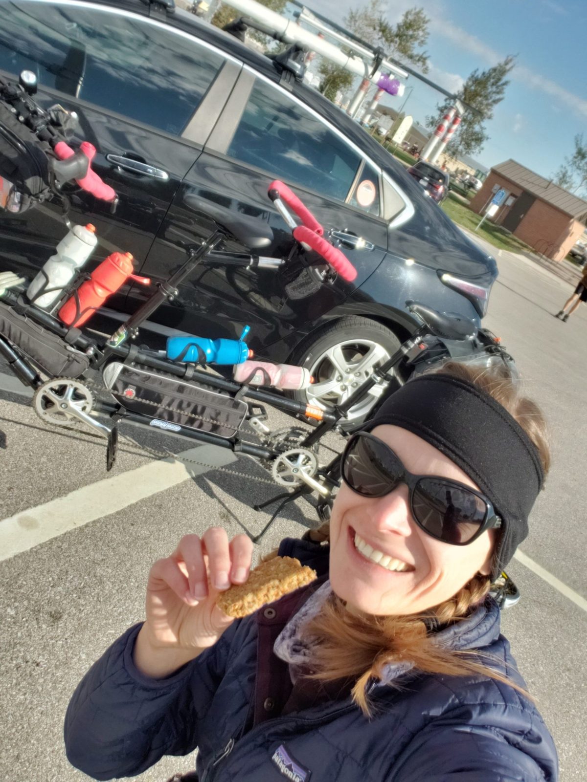
We parked our car at the Waukee Trailhead on the Racoon River Valley Trail, paid our ‘day use fee’ and began our way Westward on the Southern Loop. After not even a mile and a half of riding we stopped to shed some layers and ended up shearing off our kickstand. So we had barely started and already had our first whammie of the trip. At least I can also say this was our first trip where we didn’t get a flat tire!
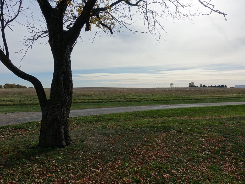
With the drive from Kansas City that morning, we had started a little late, so we decided to stop for lunch at the first trailhead in Adel. Adel was a cute little town that looked like it would have been fun to explore had we not been running late and fighting those famous midwestern winds. We continues our way slowly around the Racoon River, not seeing any Racoons, but a few rivers. Being Iowa, we did see a lot of corn fields. As we rode we joked about the variety of scenery: regular corn fields, plowed cornfields, dead cornfields, fertilized cornfields (those ones smelled real bad), and even cows-in-the-cornfield cornfields! Either because it was Friday, or because of the weather, there was only a handful of people out on the trail. It was mostly slow going as we fought the winds, until we turned eastward at the top of the trail and enjoyed a nice tailwind into our campground, Sportsman Park, just past Dawson.
We were able to eat and set up camp relatively quickly, and then enjoyed some fireside chats with the camp hosts until the effort from the day had caught up with us and forced us to retire. Knowing it was going to be a cold night, we slept in several layers, and I was still cold! The wind taunted us all night as it waited for us to fall asleep before sending a big wooshing gust. I was a little scared a branch would fall on us – but we survived the night with no real issues.


Day 2 – Saturday, October 17, 2020
53 miles
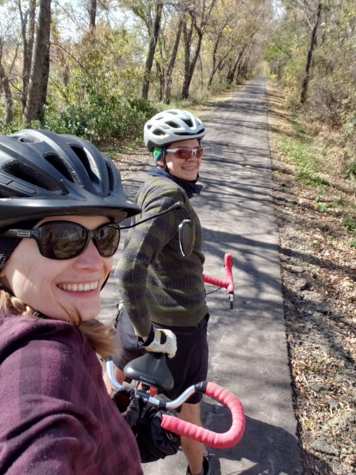
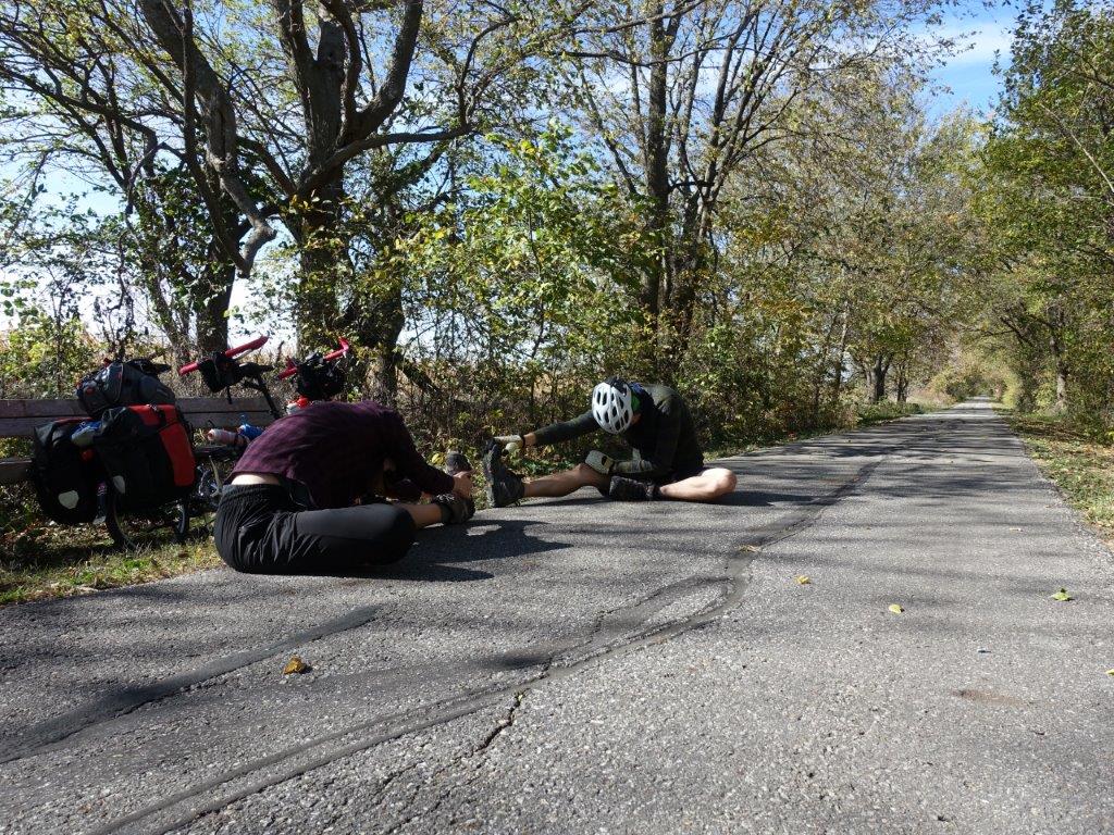
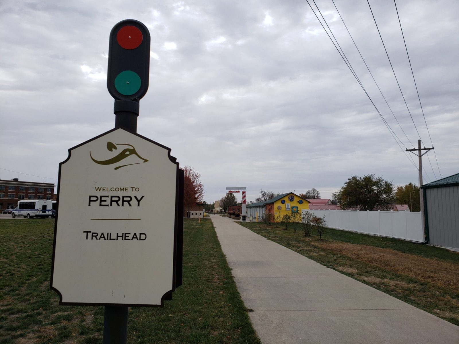
With a top windspeed of 22mph on Saturday, we were happy to enjoy the tailwind as we started our ride and headed toward Perry. Perry was another fun town; the Trail taking you right through its Main Street, where they had a lot of ‘pro cyclist’ decorations. It was a little early and a little cold to truly enjoy anything, so after some quick pictures with their giant bicycle, and a stop at the grocery store, we were ready for our off trail adventure. The city is planning to eventually connect the two trails, and I believe even has the right of way to do so, but I’m sure funding to clear/pave 10 miles of trail is a lot. The road detours we took really weren’t bad, there were some gravel roads that were a little rough and dusty, and a scary maybe tenth of a mile jog on a main highway, but otherwise we had the roads mostly to ourselves. And while the wind was starting to turn into a crosswind, it was still a partial tail which is always preferred to the dreaded headwind.

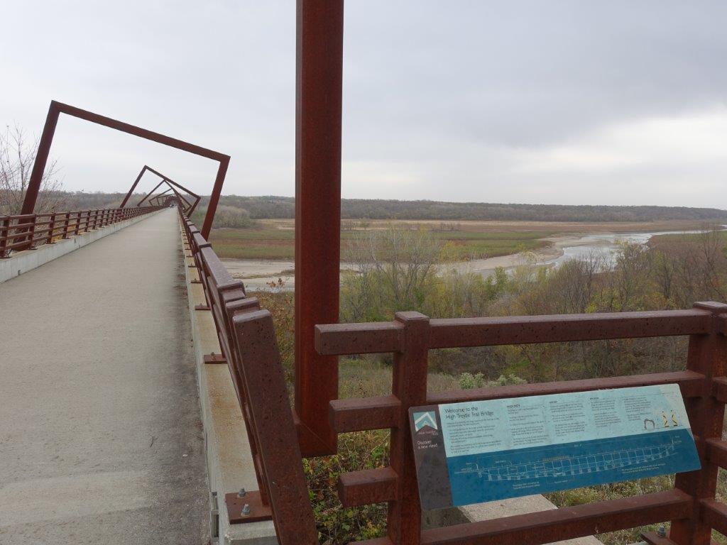
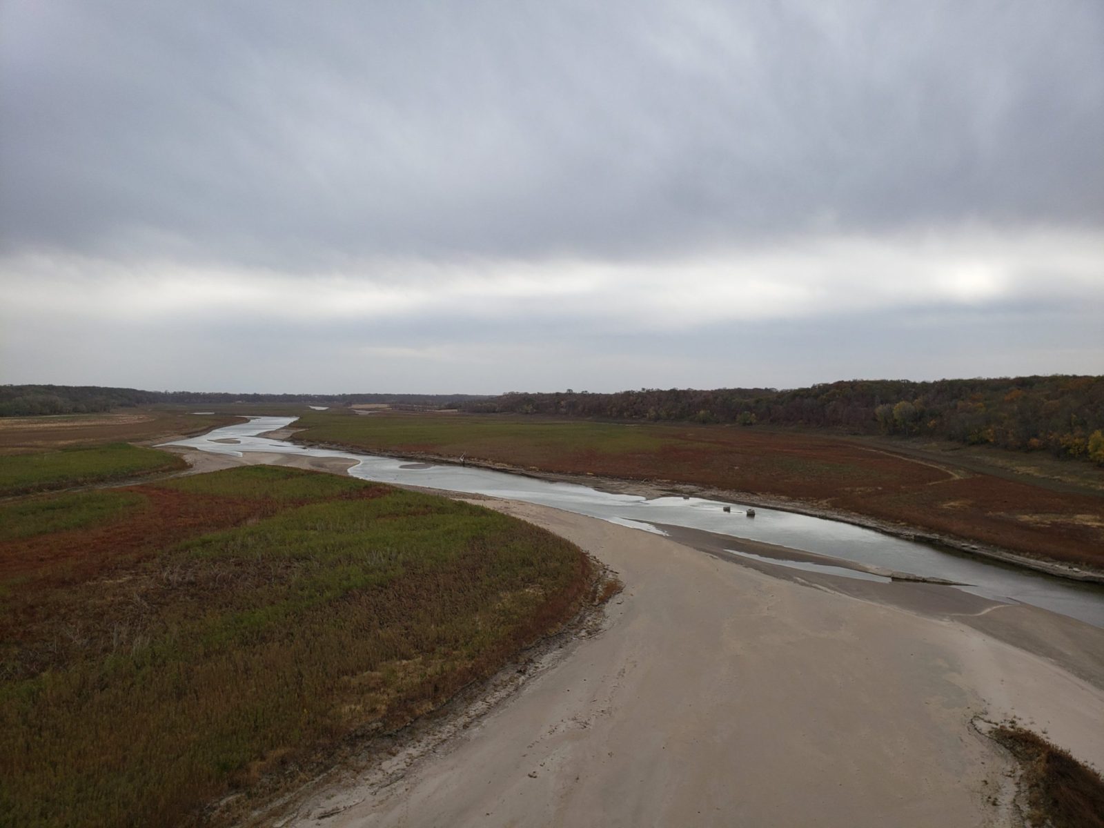
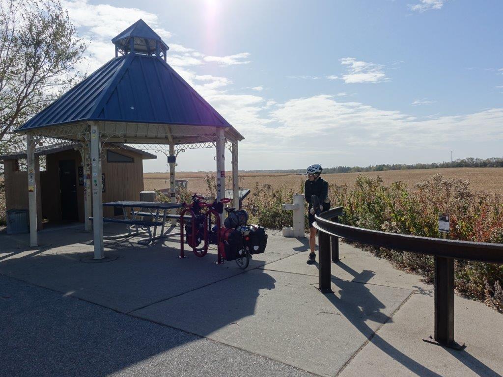
We stopped for lunch at the Woodward Trailhead – the start of the High Trestle Trail before continuing on to the main event. The bridge is really cool. The structural shapes are meant to represent cribbing that you would find in a mine to represent the main industry of the area. Riding through the spiraling cribbing gives you the sense of moving through history. And although we didn’t stay to see it, they even light the bridge up blue at night to mark the river channel below. After making our way across the bridge, we were feeling good, so we decided a celebratory beer from Flat Tire Lounge was a must. It was a little cold to enjoy the patio along the trail, but the space was large enough that we felt comfortable drinking our beers inside. Back on the road again, we enjoyed more of the lovely scenery of the Iowan cornfields. There was a nice rest stop of note referred to as the “High Trestle Trail Oasis”. It was simple with a pit toilet, and a gazebo covered in stickers from various Ragbrai Teams. We enjoyed the break and reading all the stickers.
Around 4pm we rolled into the end of the High Trestle Trail in Ankenny, Iowa. Knowing how cold/windy it was the previous night, and that Saturday night was set to be even colder (a feels like 25 with a chance of snow!) we decided to abandon our campsite and make reservations at a hotel another 10 miles away. We chose the AmericInn based on it’s price and it’s proximity to labeled bike trails and were very satisfied with the price/quality ratio. Getting there was fairly easy, although there were a couple moments where we wound up on the street instead of the bike sidewalk simply because we hadn’t seen it until it was too late. After making it to our hotel we decided we were just too lazy to cook our planned dinner of rice and beans with peppers, so instead we had the gourmet meal of Ramen Noodles (plus our secret ingredient: peanut butter for the extra protein).

Day 3 – Sunday, October 18, 2020
29 miles
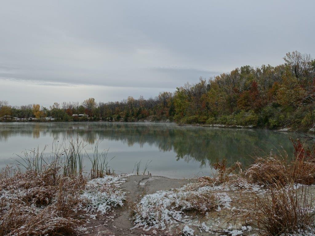
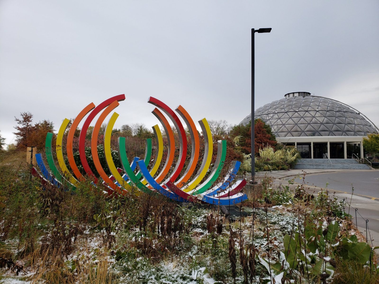
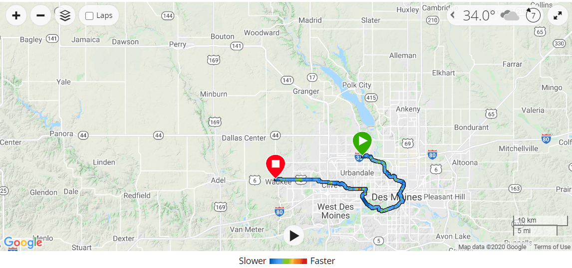
Staying in a hotel was definitely the right choice for us as we woke up to snow covered ground. We had two options, we could take the direct 10 mile path to our car, or we could take the roundabout way and add another 20 miles and go through the downtown area. Despite the snow, we opted for the latter wanting to see some of the city sites. Our last day of riding was full of cold, trail closures, and technical difficulties. Our first detour was an easy one, there was a bridge out, but luckily a short, signed, dirt path along the river existed to connect us to another one – so much for coming home with a clean bike. Once we made it downtown, there was a lot of construction going on, and nothing was marked very well. We ended up doubling back in some areas – and I’m pretty sure rode across a bridge that was not supposed to be open to the public, but being a Sunday morning it was deserted save for the abandoned construction equipment. Our GPS screen had also decided to quit working on us (apparently this is a common problem with the Garmin Edge Explorer, and we are now equipped with the in-field fix for next time…hold down the power button until it works). On top of that, my phone battery had decided to die – I’m guessing from the cold, because when we plugged it in to our battery it would jump up to 70%, but once unplugged, drop down to 3%. The woes of technology.
Staying in a hotel was definitely the right choice for us as we woke up to snow covered ground. We had two options, we could take the direct 10 mile path to our car, or we could take the roundabout way and add another 20 miles and go through the downtown area. Despite the snow, we opted for the latter wanting to see some of the city sites. Our last day of riding was full of cold, trail closures, and technical difficulties. Our first detour was an easy one, there was a bridge out, but luckily a short, signed, dirt path along the river existed to connect us to another one – so much for coming home with a clean bike. Once we made it downtown, there was a lot of construction going on, and nothing was marked very well. We ended up doubling back in some areas – and I’m pretty sure rode across a bridge that was not supposed to be open to the public, but being a Sunday morning it was deserted save for the abandoned construction equipment. Our GPS screen had also decided to quit working on us (apparently this is a common problem with the Garmin Edge Explorer, and we are now equipped with the in-field fix for next time…hold down the power button until it works). On top of that, my phone battery had decided to die – I’m guessing from the cold, because when we plugged it in to our battery it would jump up to 70%, but once unplugged, drop down to 3%. The woes of technology.
Once we made it across that last bridge just south of downtown and onto the Meredith Trail we were for the most part in the clear. The trails were mostly marked/mapped and we should have had an easy route back to the car. That was until we reached a trail closure sign. The old me might have ignored the sign and ridden it anyways, assuming it was closed for my safety, but I just recently completed a Leave No Trace Trainer Certification, and in doing so, learned that trail closures could be in place for any number of reasons I may not be aware of – such as protecting an animal habitat or similar. If that was the case, disregarding the closure sign could do serious harm to said animal. So we obeyed the closure sign and forged our own detour through some city streets.
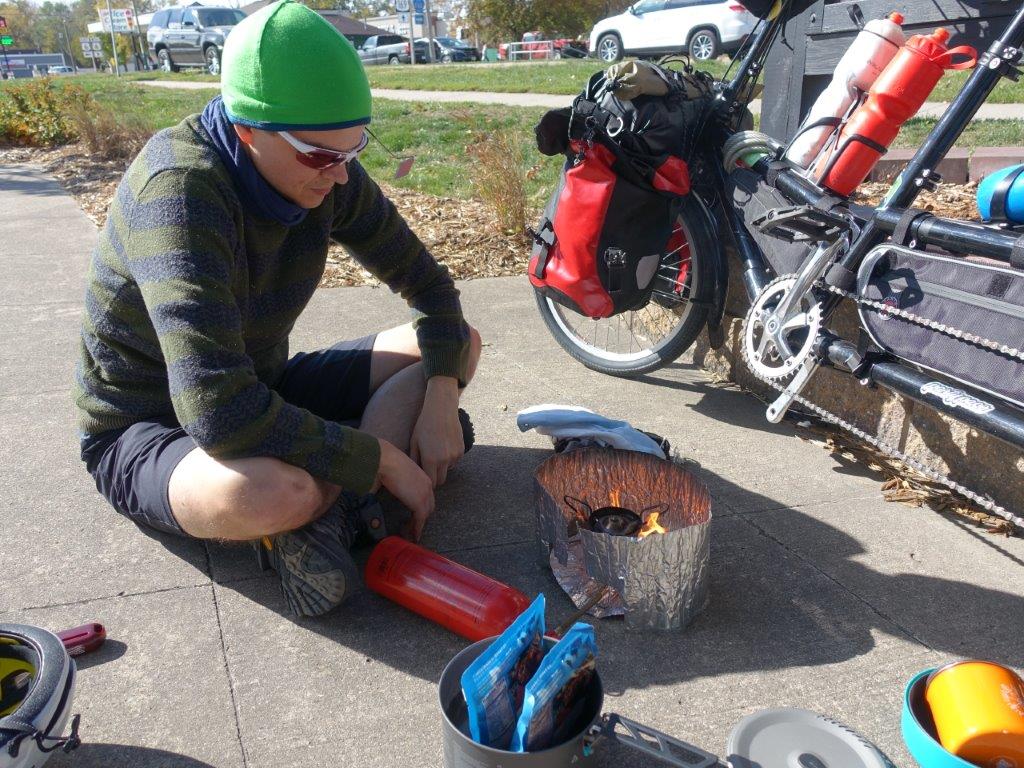
Slowly losing moral as the cold seeped in we hunted for a nice spot to stop for lunch. After passing up a few awkwardly located snow covered benches behind a warehouse we were beginning to get disheartened, just as we came up to a clearing with picnic tables. We were able to heat up some banana granola and it was just what we needed to get the pep back in our step. The last 10 miles after lunch were relatively easy and we even saw a flock of turkeys just off the trail. And of course the sun started to peak its way out just as we were finishing up.


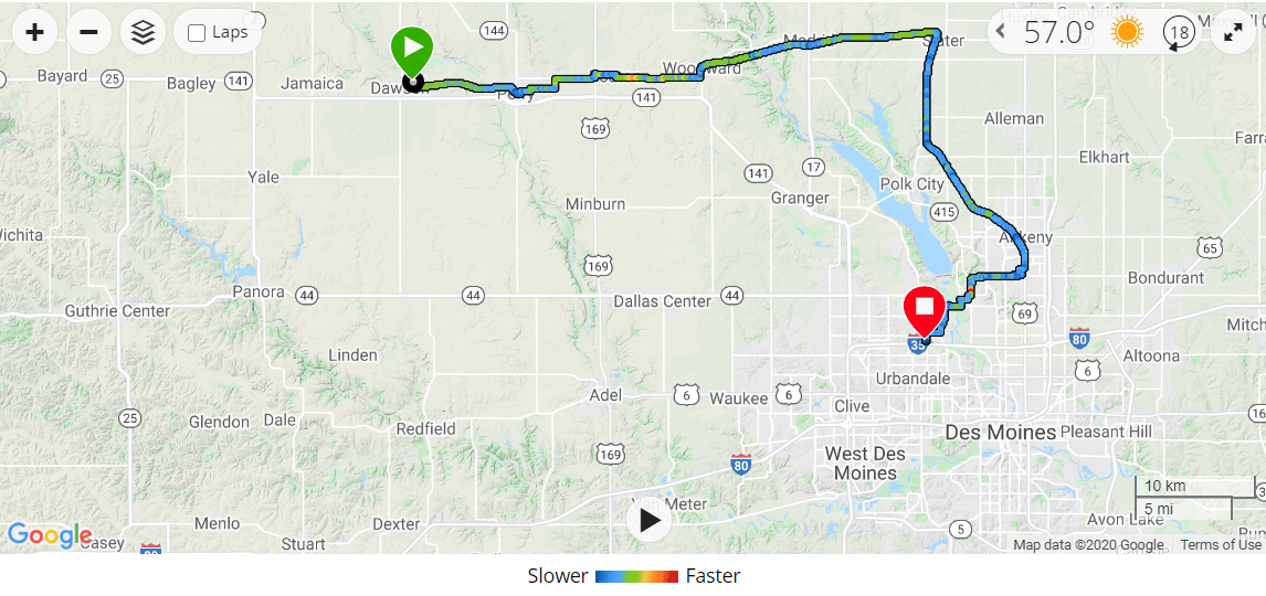
Total Mileage - 128
Overall I really enjoyed the route. It was easy enough with most of it well marked and paved, and the vast views were a nice break from the inside of our house we’ve been seeing so much of lately. I wish we had had nicer weather which would have encouraged more stops/breaks, but at least we minimized our Covid contact possibilities, I guess.
You May Also Like

